Rugged computers for forestry
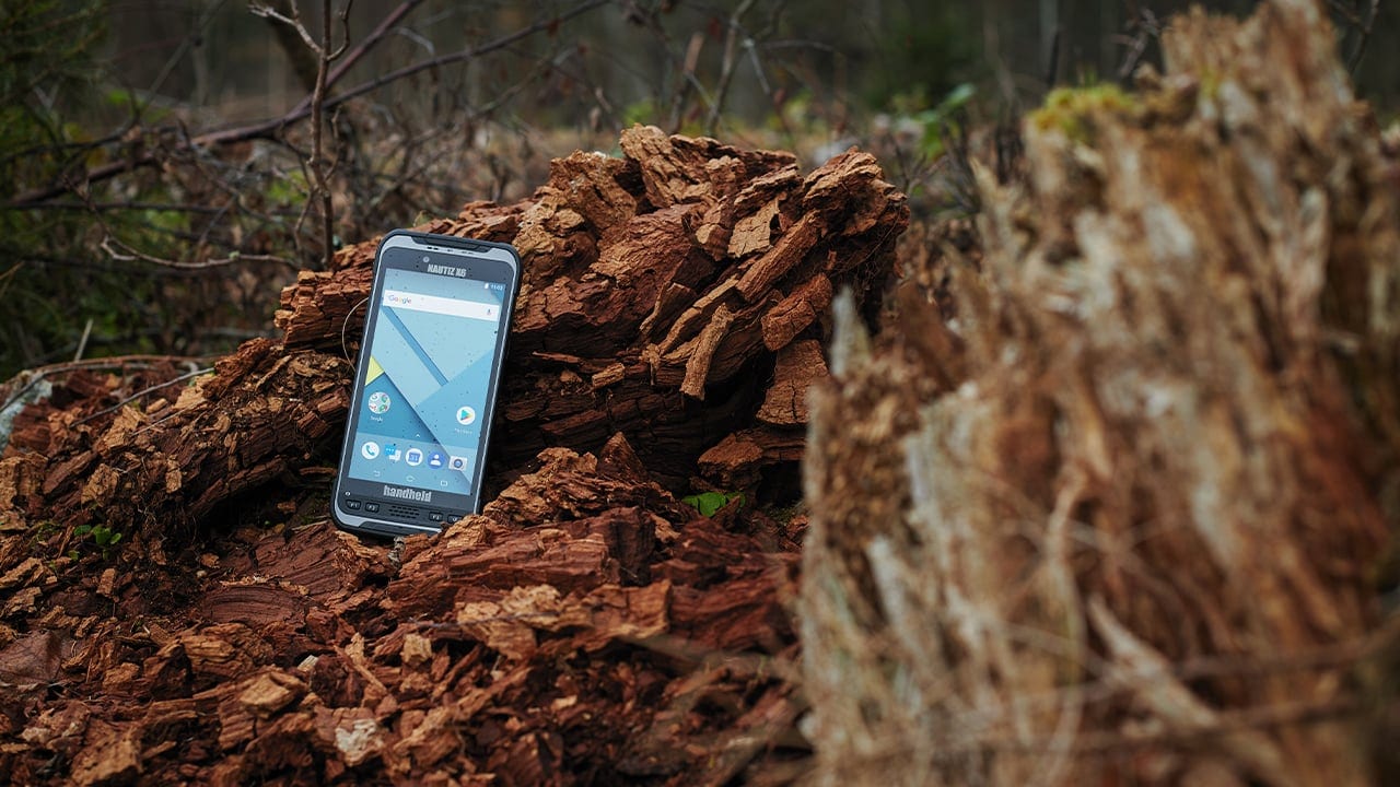
Forestry workers perform most of their tasks outdoors, where data collection and navigation technology can be exposed to variable weather conditions and rough handling. The development of ultra-rugged handheld computers has offered forestry professionals reliable, powerful tools for timber cruising, GPS navigation, surveying tasks, and all types of forest management and timber inventory data collection.
Cutting-edge data collection technology allows natural resource professionals to navigate, map, image and report in the field, streamlining data collection for forest managers while vastly improving data accuracy.
Rugged solutions for today’s forestry professionals
Documenting forestry data for inventory and management — such as tree counts, visual observations about timber health, and location information — used to require a significant amount of paper and time, even without accounting for user error. Add in resources lost from fixing data entry errors and replacing weather-damaged records, and waste reduction with rugged handhelds becomes enormous.
The introduction of field data collectors to forestry was revolutionary, even though the first devices simply stored data electronically for later viewing on a more advanced computer. Today, forestry data — including timber measurements, density, age, growth patterns, health, damage, presence of pests, and disease — can be entered with the click of a button or the snap of an integrated camera, then accessed, filtered, sorted, manipulated, calculated, communicated and generated into detailed reports — all from a single device, no matter the weather. All information and photography can be stored in the cloud and viewed and edited at any time, from any computer with access.
This information can also be linked to location data. GPS, aerial photography, RFID technology and GIS apps allow field workers to navigate forest plots and work with geo-referenced data such as detailed profiles of specific trees that open automatically when a worker arrives at an RFID-tagged site.

Improved wood value
Mobile computers allow sellers to maximize timber value in several ways. Beyond the cost savings associated with increased data collection efficiency, sellers can easily identify trees that fit specific timber orders, minimizing waste. GIS imaging and advanced measurement tools linked to mobile devices also maximize timber value by calculating optimum cutting positions during harvest.
Efficient transportation and optimal routes
After sale, mobile computers continue to maximize profits by assisting with transportation along the supply chain. Fleet management applications running on handheld computers equipped with high-powered communications capabilities allow workers to quickly calculate optimal transport routes, select the best transportation equipment for an order, and reduce empty space in trucks. Drivers can communicate status updates instantly, keeping everyone informed and decreasing down time.
Forest inventory
Forest inventory is a systematic accounting of trees and forest information in a specific area, for the purpose of analysis, planning and assessment. Data collection for forest inventory is used to estimate value, determine possible uses for timber, identify hazards and calculate risk, and create a database of information used for management planning. Data collected can include tree measurements, species, age, defects and site quality, as well as surveys of wildlife within the forest. All of this information, including visual data, can be collected quickly and easily from a single rugged device.
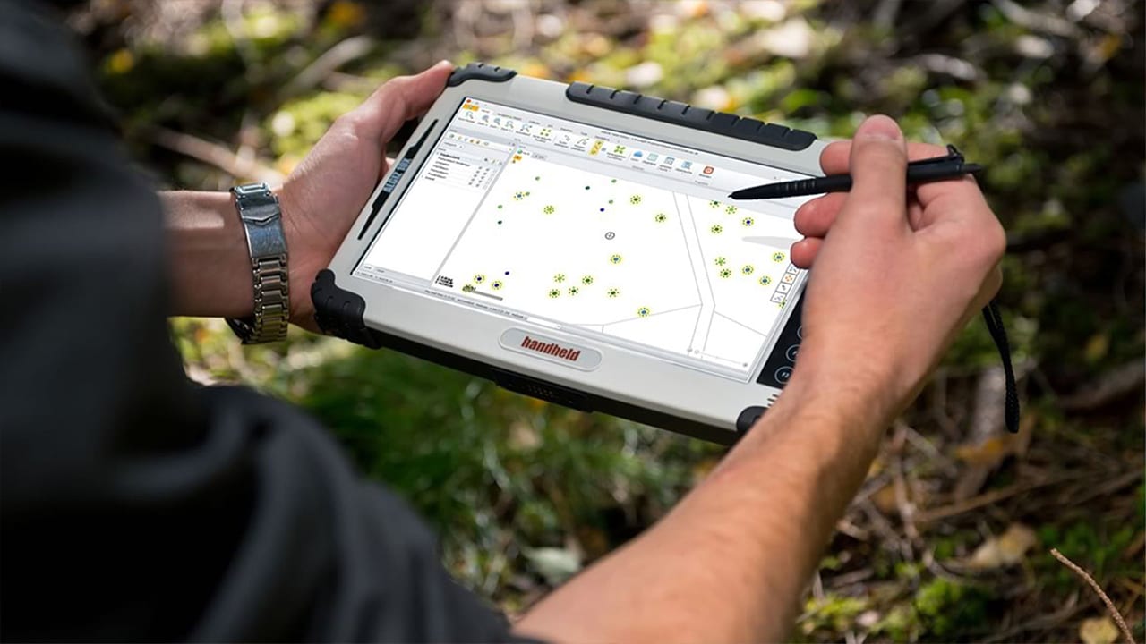
In a specialized woodland cemetery owned by company Bestattung Kärnten, rugged handheld devices are helping workers identify, locate and register trees that will become urn-burial plots. While not a traditional forestry application, high demand for plots has driven Bestattung Kärnten to use ultra-rugged tablet computers with GNSS GPS and surveying software to develop a comprehensive inventory of the forest cemetery’s trees.
Read the full customer solution: Algiz 10X assists in an unlikely setting

Timber cruising
A “timber cruise” refers to the process of taking measurements within sample timber stands in order to estimate a larger piece of land’s timber volume and quality. Workers collect data at several individual plots, and combine the findings to comprise a full sample. Timber cruising data can include wood type, tree measurements and any defects. Rugged handhelds help workers navigate, collect sample information, synthesize data, calculate volume and value, and generate reports.
Forestry workers make major purchasing decisions based on educated guesswork, and to stay profitable they need the best estimation tools available. One minor miscalculation can result in overpayment and large losses. To improve speed and navigation accuracy, timber buyers are turning to rugged PDAs equipped with GPS and powerful data collection and estimation capabilities.
Read the full customer solution: Timber buyers increase accuracy
