January 9, 2023
To successfully connect the u-blox GPS module in QGIS software, the following must be performed once.
Make sure that the CDC driver for u-blox GPS is already installed:
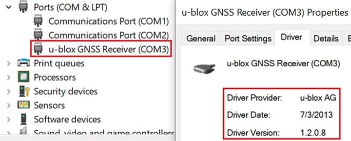
For CDC driver, see this article.
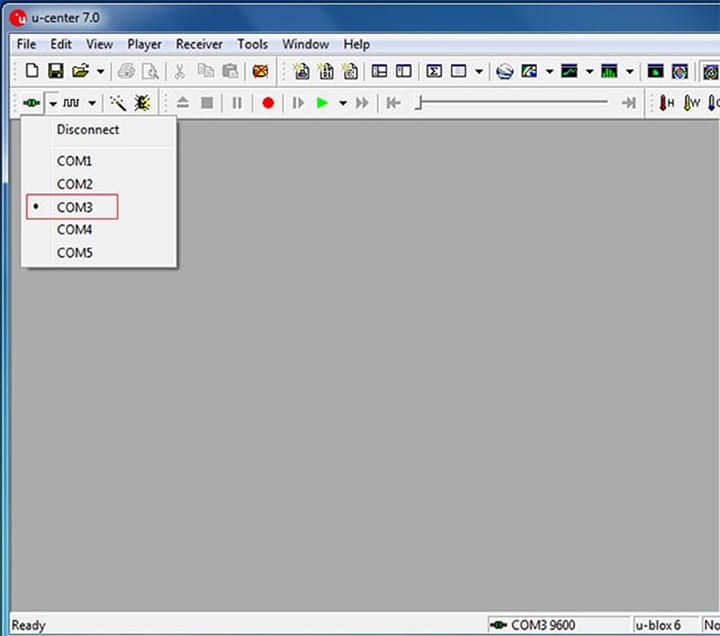
- Open u-center.
- Connect to GPS module (default port is COM3, baudrate 9600).
- Go to View > Configuration View.
- Click NMEA (NMEA Protocol) on the left side list.
- Set Numbering used for SVs not supported by NMEA to 0 – Strict (not output), Main Talker ID to 1 – GP (GPS) and GSV Talker ID to 1 – Use main Talker ID.
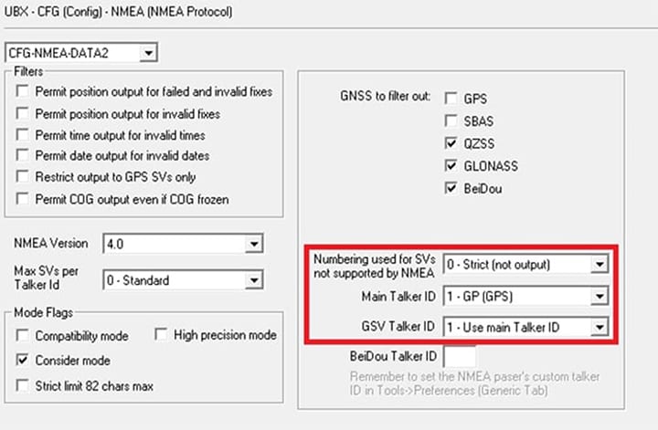
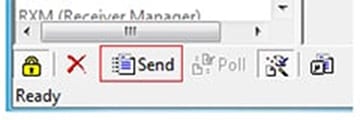
- Click the Send button in the lower-left corner.
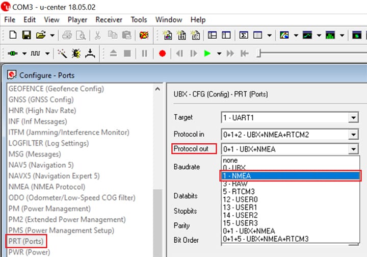
- Click PRT (Ports) on the left side list.
Set Protocol out to 1 – NMEA
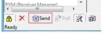
- Click the Send button in the lower-left corner.
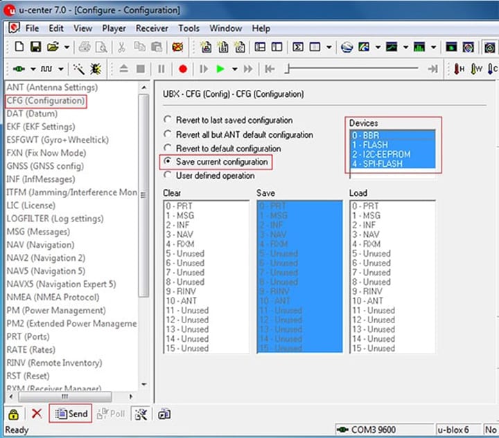
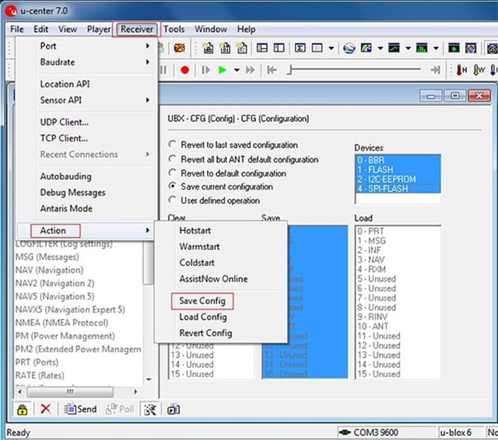
- Switch to CFG (configuration) tab on the left side list and select Save current configuration. At Devices: select all 4 list entries. (To select all entries, tap and hold the pen/mouse on the first entry and move down to the last entry. Release pen/mouse). Then click the Send button in the lower-left corner.
- Click Receiver > Action > Save Config.
- Close u-center.
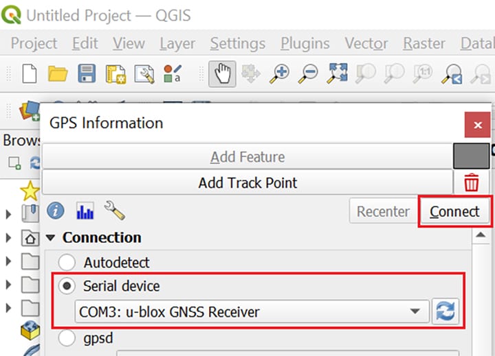
- Open QGIS. Open GPS Information panel. Select Serial device and then choose the u-blox Module. (default is COM3:).
It may not connect the first time. So try a few times using the Connect button.