 https://www.handheldgroup.com/wp-content/uploads/2024/06/forest-inventory-rtk-tablets.jpg
1080
1920
Mikael Salquist Landin
https://www.handheldgroup.com/wp-content/uploads/2019/11/handheld-logo-340.jpg
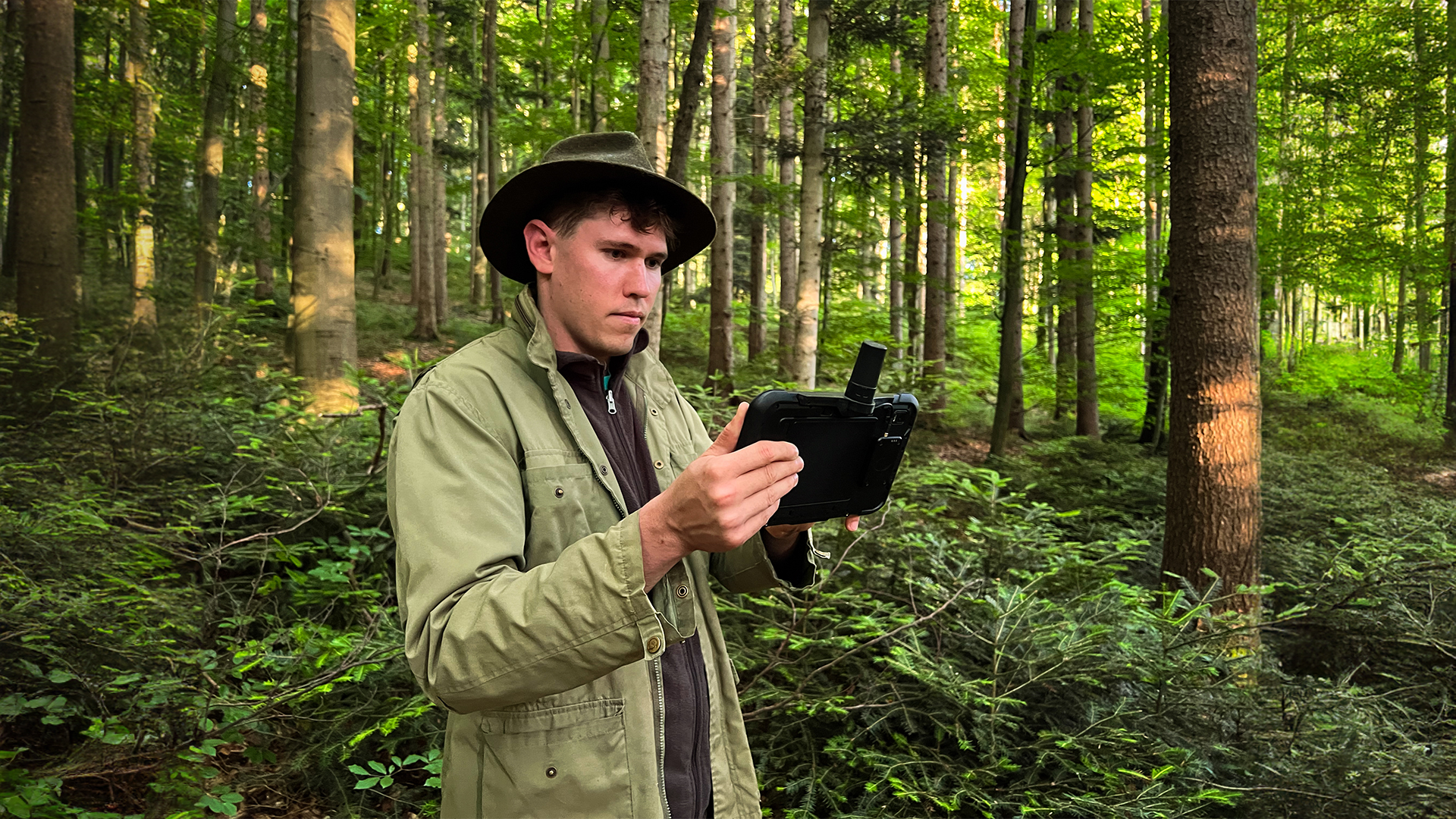
Mikael Salquist Landin2024-06-19 09:23:412024-06-19 09:50:33Rugged tablets enable mobile RTK for forest inventory management
https://www.handheldgroup.com/wp-content/uploads/2024/06/forest-inventory-rtk-tablets.jpg
1080
1920
Mikael Salquist Landin
https://www.handheldgroup.com/wp-content/uploads/2019/11/handheld-logo-340.jpg
Mikael Salquist Landin2024-06-19 09:23:412024-06-19 09:50:33Rugged tablets enable mobile RTK for forest inventory managementRugged Computers conquer extreme challenges in Patagonia
Handheld computers explore UNESCO wonders in the southernmost caves
Challenge
Tackling the difficulties of exploring Chilean Patagonia, including the challenging northern part of Madre de Dios island.
Solution
Armed with Handheld’s rugged computers, navigate and document the harsh Patagonian landscape, creating a Geographic Information System for enhanced exploration.
Result
Uncover Marble Glaciers and unknown rock paintings, with Rugged Handheld PDAs contributing to a UNESCO-worthy database.
“Over the course of twenty years and successive expeditions to the limestone islands of the western Patagonia Archipelago in the far south of Chile, we have discovered the Marble Glaciers, the largest cavities in South America, new animal species, unknown rock paintings and the archaeological remains of the first inhabitants of these hostile lands. We have travelled across the Madre de Dios and Diego de Almagro archipelagos, in search of caves and sinkholes.”
– Michel Philips, Cave explorer and cave diver
Centre Terre’s Decade in Patagonia
After 4 years of interruption, the Centre Terre exploration group embarked on its 10th expedition to the Chilean Patagonia Archipelago in 2023. As with previous expeditions, Handheld’s rugged computers were part of the adventure.
The exploration of the northern part of Madre de Dios island started already in 2017 and 2019 but sailing to that place is complicated and walking inside the unexplored lands is even more difficult. So, the knowledge of that zone was still limited. For this year’s expedition, the team of 50 cave explorers and divers settled on the coast of Seno Egg, which gave them access to a huge unexplored limestone plateau.
© Centre Terre – UP2023
How Handheld PDAs Steer Exploration in Patagonia
Patagonian weather is known to be one of the hardest on earth. This year has been particularly difficult with heavy rains and gales almost every day. This made all activities: navigation, travel on foot, and cave exploration more difficult. In these harsh conditions, the Handheld PDAs become a kind of “all-purpose tool” for the exploration team.
The GPS feature, with the relevant applications, is used both at sea for navigation and on land to record surveys and to pinpoint cave entrances or remarkable geological phenomena. With this data, the goal is to build a Geographic Information System that will record all information about Madre de Dios Island collected since the first expedition in 1995. This database will be part of the Unesco World Heritage application documents. By combining the satellite images, the waypoints, and the trail records the exploration group has been able to build their own map of the place. They have uploaded this map in their rugged handheld devices in order to have a permanent localisation of the explorers’ teams when they are on the field.
© Centre Terre – UP2023
Integrated features for cave surveys and underwater planning
The camera feature of the rugged handhelds gives the explorers the capability to have a reliable and accessible tool for photos and videos. Of course, they also need heavier and bulkier dedicated cameras to make the professional images that are needed for TV and magazines. But the rugged handheld’s built-in camera is invaluable when it comes to documenting topographic surveys, illustrating a geological curiosity, or taking a souvenir picture on the go.
As they run on the standard Android system it has been easy to install specific topographic software for caves on the devices. With the high-resolution screen, the stylus pen, and the rain mode it is possible to use them in the muddiest and wettest caves for recording the survey and drawing the topographic details. While returning to the base camp, the team simply unloads the data and immediately gets the plan and cross-section or the 3D view of the cave on the computer.
Some of the team members are also divers and cave divers. They have installed all the relevant software on the rugged handhelds to ease dive preparation including gas mixture calculations, gas consumption forecasting, and decompression stops calculations. Therefore, they can have all this information in hand even when on board the inflatable boats or inside the cave near a sump.
© Centre Terre – UP2023


