Genius surveying made easy with GeoGenie
Algiz RT8 + a cloud-based professional mapping and surveying platform
Challenge
While there are many circumstances that require a surveyor, there are too few professional surveyors to fulfill all the needs for every organization.
Solution
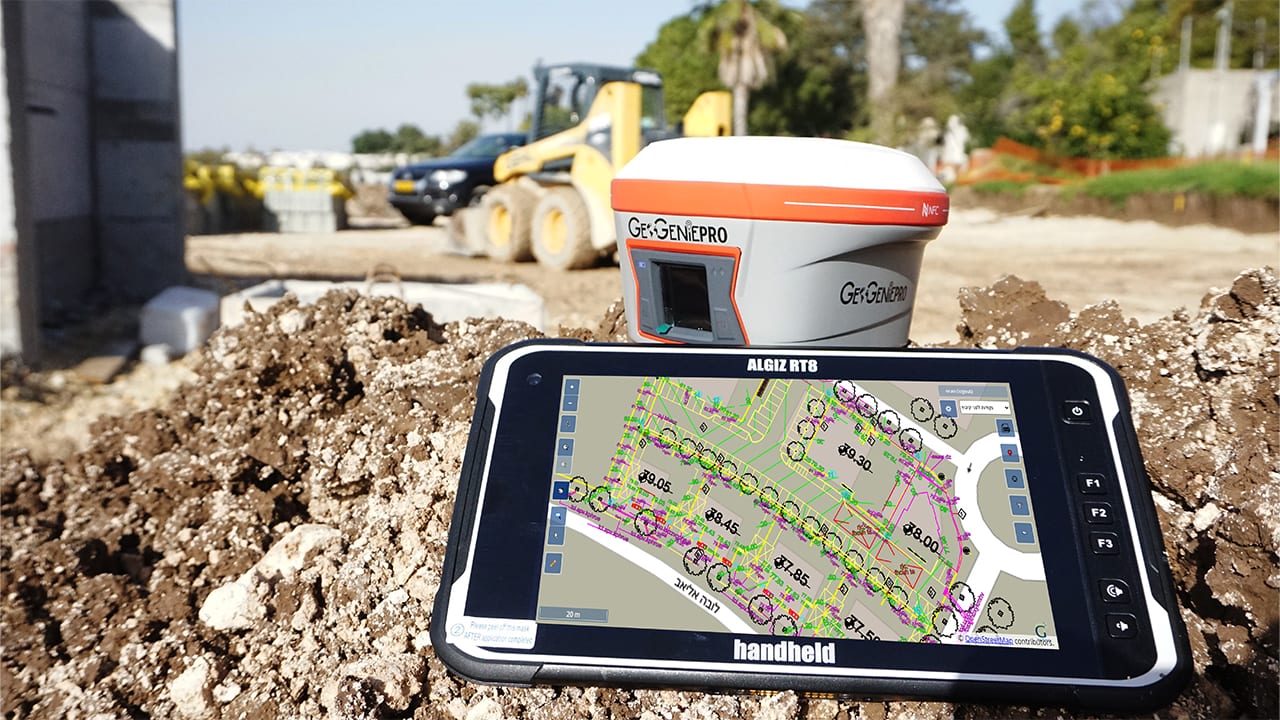
GeoGenie is a cloud-based collaborative and professional mapping and surveying platform. Teamed with Handheld’s Algiz RT8 ultra-rugged field tablet it streamlines the professional’s work—but also allows the non-professional to perform accurate geodectic mapping.
Result
Rapid customization and creation of geocentric information to fit any company’s needs with automated drawings, automated quantification sheets, easy (graphic & analytic) stake-out, area, volume and slope measuring and more.
GeoGenie and the Algiz RT8 rugged tablet help both professional surveyors and non-pros to get the job done.
Field data that is fast, accessible and accurate
GeoGenie has the power to grant wishes to both the professional surveyor and the non-professional who needs to get a job done. Offered by GeoGenie Ltd., professionals appreciate GeoGenie’s ability to streamline their work, making it more efficient, and non-professionals are guided and monitored while collecting data. And since it is so robust and easy to use, it can be used my employees who aren’t fully trained as land surveyors.
GeoGenie is a state-of-the-art application generator for rapid customization and creation of organizational, geo-centric information systems. This unique platform enables any organization to have an advanced, professional surveying and GIS platform that includes customized procedural workflows, management of user-hierarchies, integration with other organizational information systems, and much more.
GeoGenie can connect with professional surveying equipment, such as GPS and total stations, and integrates all the data into a cloud-based central database with no restriction for specific data collection hardware. With options to customize GeoGenie, every user can have a tailor-made information system.

User enthusiasm from civil engineers and contractors
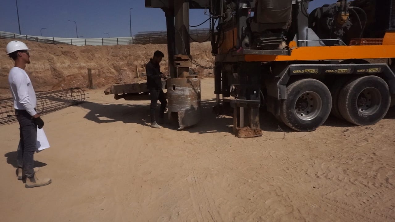
Effective field data collection is needed by a wide range of operators, including dirt contractors, utility contractors, civil engineers, large-area gardeners, playground contractors, property managers, utility planners and excavating contractors. Eliran Ifrah, the owner of the Israeli company Dor Hasolelim, says the GeoGenie has been a great solution for them. In addition to saving time, they are also saving money by creating tailor-made reports and invoices, and they appreciate the ability for self-mapping.
And the GeoGenie Ltd. team reports, “Due to its fast-processing abilities and ruggedness, we found that Handheld’s Algiz RT8 is the best device for the GeoGenie platform after trying Panasonic, Dell and a few others.”
The simplicity of the Algiz RT8 rugged Android tablet is a perfect fit with GeoGenie’s customized workflow, direct data entry, and connectivity to any GPS device. Both can be used by anyone, no technical background, field surveying, ArcGISTM, or AutoCAD knowledge needed.

Data collection and mapping solution
Some big jobs may look beyond reach for many companies due to a lack of professional surveying knowledge or a shortage of working surveyors. But with GeoGenie and Algiz RT8 3D field collection and mapping can be done by the people who are available within the company—with or without formal surveying skills.
